Mapping Phytoplankton Diversity Along the South African Coast
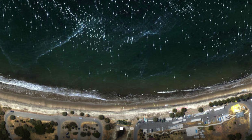
This NASA-funded project aims to develop a cutting-edge hyperspectral radiometric approach to map the spatial distribution of phytoplankton functional types (PFTs) across key coastal ecosystems of South Africa, including St Helena Bay, Walker Bay, and Algoa Bay. These regions span the Namaqua and Agulhas bioregions and are critical components of the Greater Cape Floristic Region.
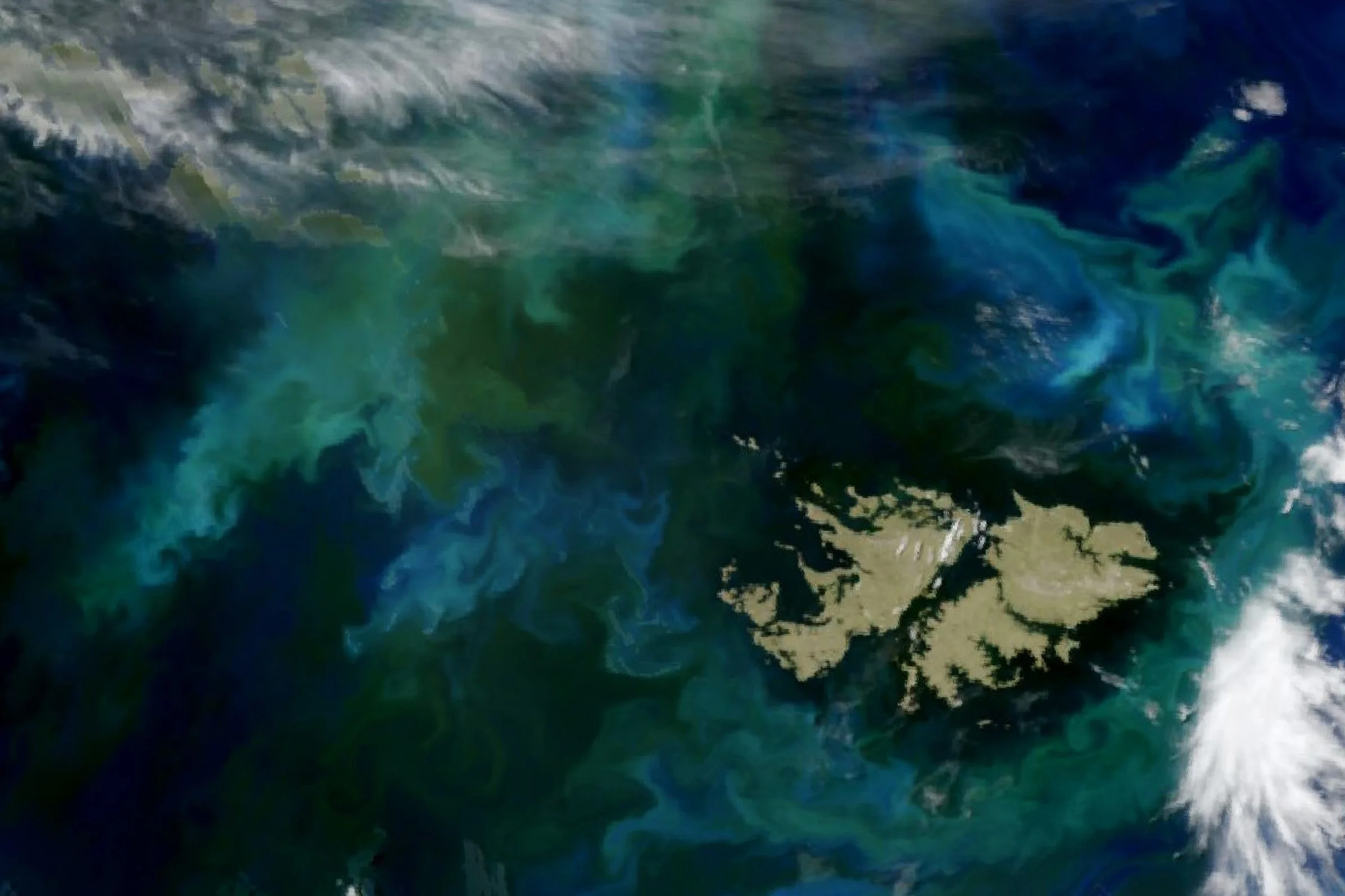
The project leverages the distinct hyperspectral reflectance signatures created by phytoplankton pigment variability to identify and map specific PFTs, including those responsible for harmful algal blooms (HABs). By integrating in situ optical measurements with bio-optical observations, microscopy, pigment analysis, and environmental DNA (eDNA)sampling, the team will develop robust algorithms capable of distinguishing phytoplankton groups in optically complex coastal waters.
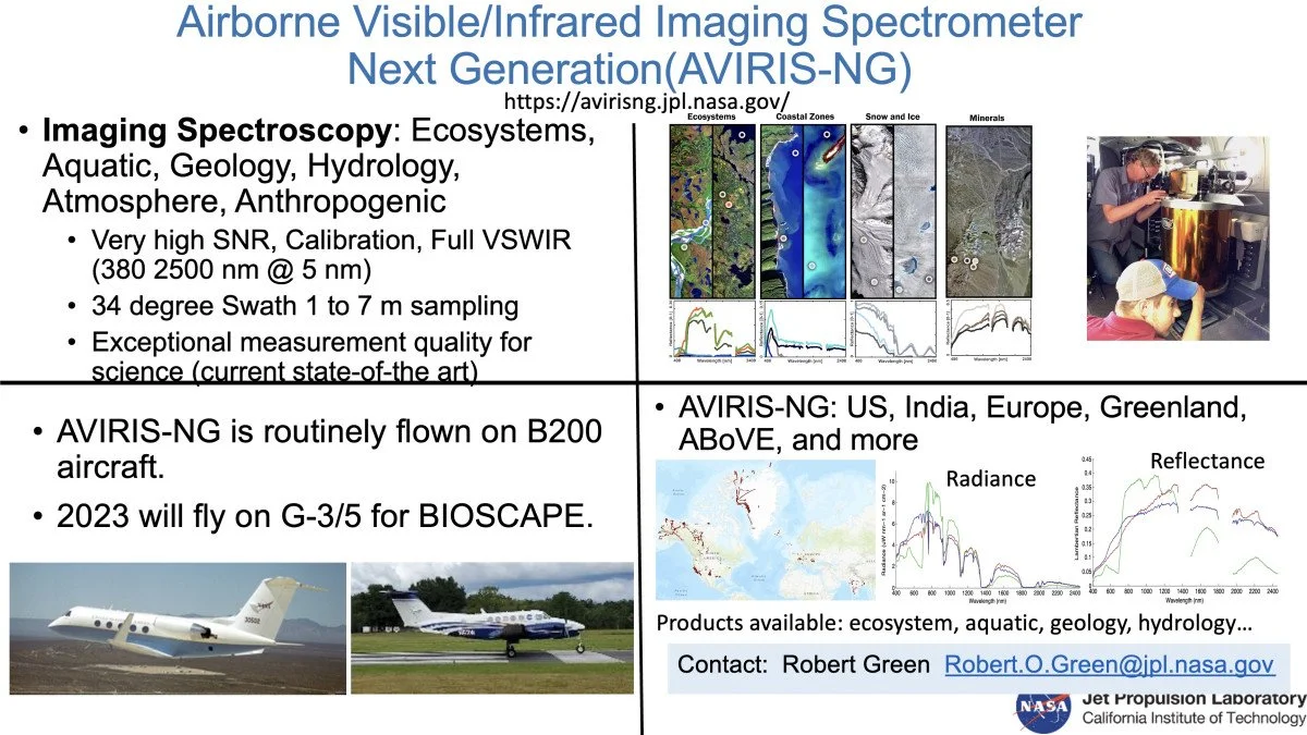
A key focus is the use of narrow-band airborne hyperspectral data collected by AVIRIS-NG and PRISM during the BIOSCape field campaign. These data will allow researchers to isolate phytoplankton-specific reflectance signals from those caused by sediments, dissolved organic matter, and other seawater constituents. Close coordination with the BIOSCape team ensures optimal flight planning to minimize atmospheric interference such as cloud cover, aerosols, haze, and sun glint.
Beyond airborne observations, the project will extend PFT mapping to larger spatial and temporal scales using satellite sensors including MODIS-Aqua, Suomi VIIRS, VIIRS-20, and PACE. Together, these datasets will support testing of five key hypotheses related to marine biodiversity patterns and feedbacks between climate change, ecosystem dynamics, and ecosystem services in South Africa’s coastal oceans.